Milford Track Hike - A Must-Do for Kiwis
 |
 |
 |
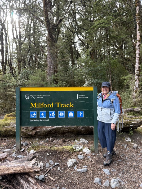
The Milford Track remains New Zealand’s most celebrated hiking experience with good reason. It was first promoted as a tourism attraction in 1889 and today continues to attract locals and visitors from all over the world but it is not a pushover and requires a reasonable level of fitness and endurance.
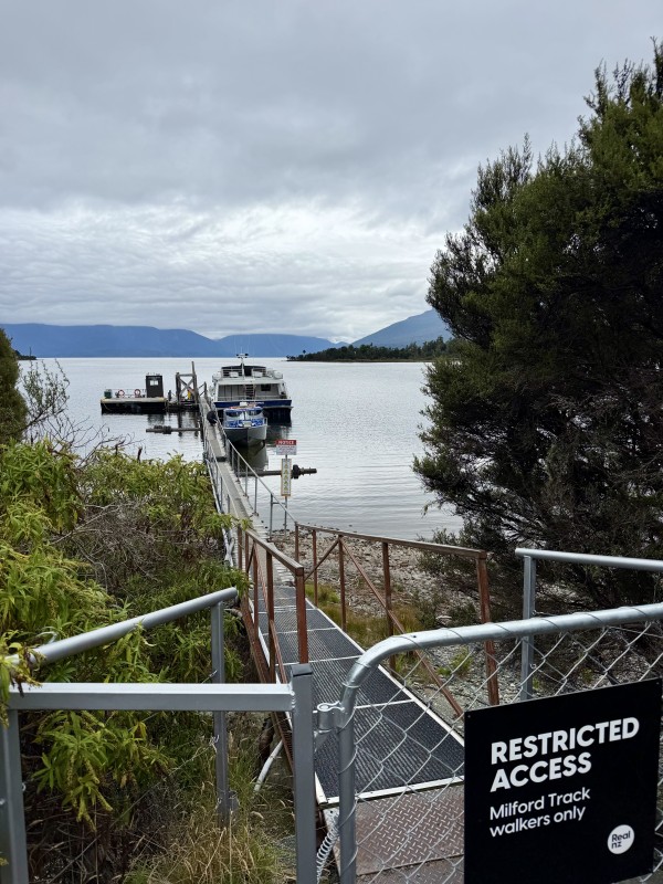
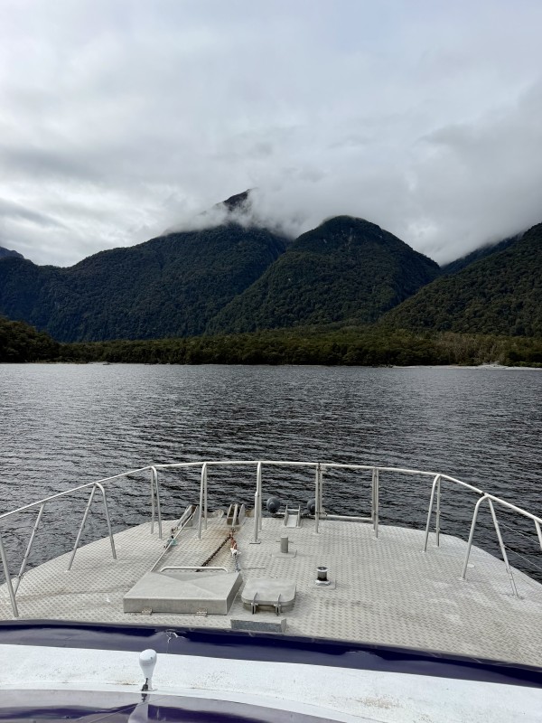
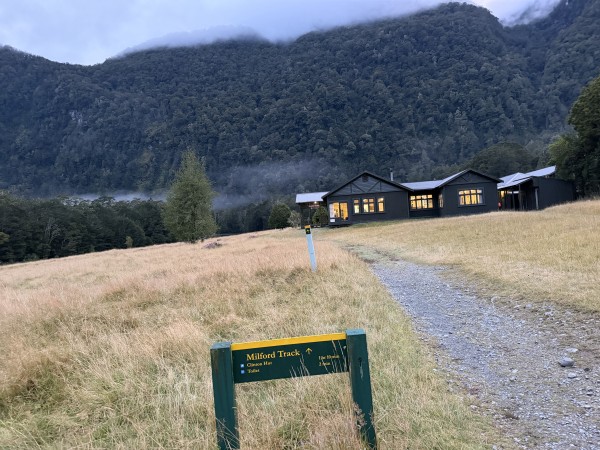
The entrance to the Milford Track is by boat across Lake Te Anau to Glade Wharf. There are two options to hike the Milford Track.
DOC Department of Conservation Great Walks with a series of huts that can be booked online and are enormously popular and therefore difficult to book. The 2026/7 Season opens at 9.30am on Wednesday 13 May 2026. You carry your own sleeping bag and food.
Ultimate Hikes offers a more premium experience with guides to support the hikers and comfortable accommodation in their own huts with catered meals (and a bar) so that hikers do not need to carry their own food or bring their own bedding. This takes the pressure off!
Read more about the tourism history and the development of Milford and its track.
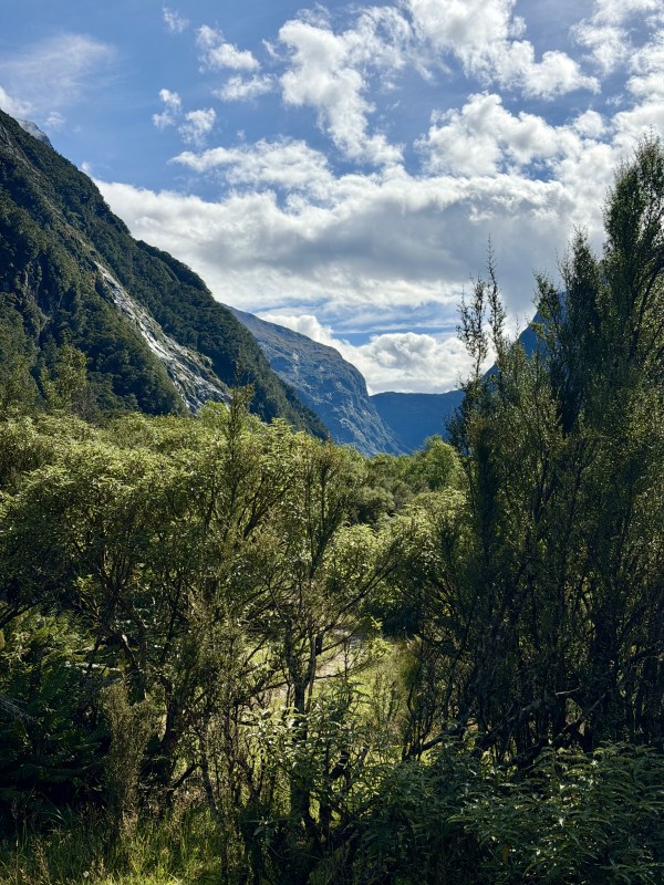 |
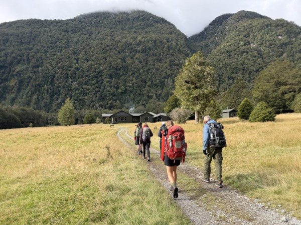
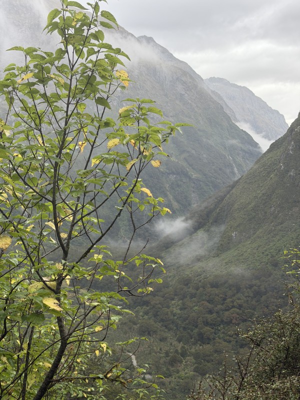
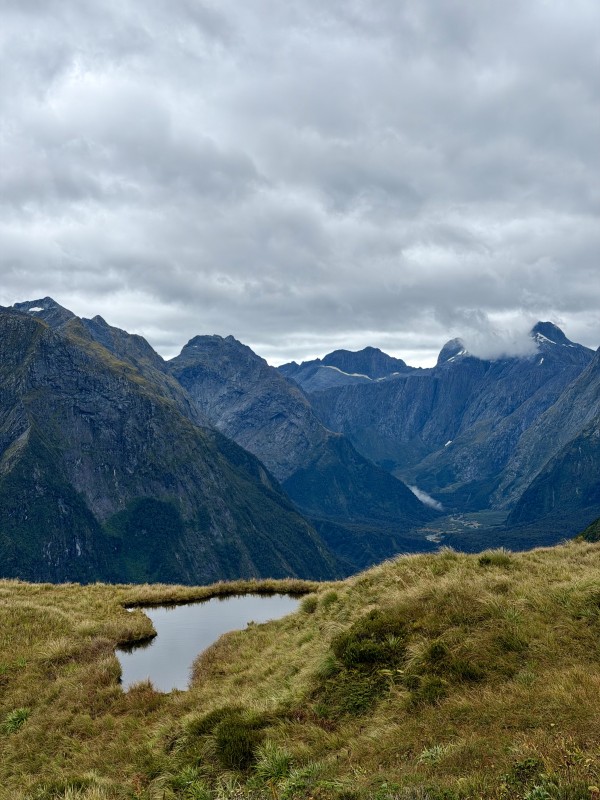
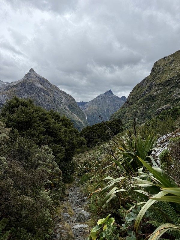
At 54 kilometres long, over 3 nights, you hike up through native bush and over a mountain pass; along pristine river valleys, remnants of ancient glaciers, flanked by soaring mountains of metamorphic rocks and granite.
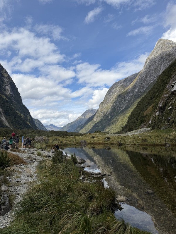
The image above looks up the valley to the McKinnon Pass where we will hike over on Day 3.
 |
 |
Glade House, at the begining of the Milford Track, is about 30 minutes walk from Lake Te Anau and sits beside the Clinton River.
 |
 |
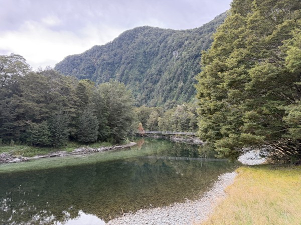
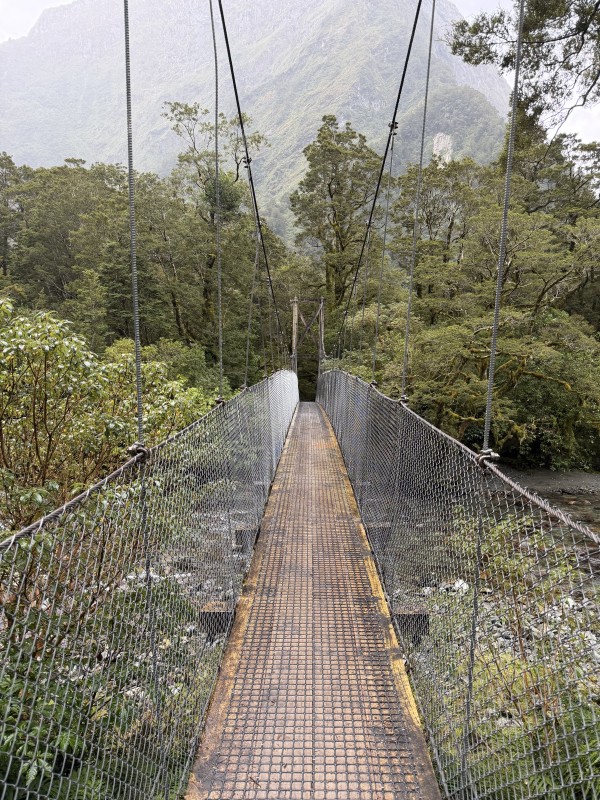
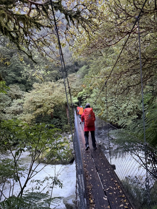
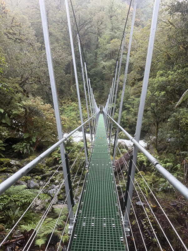
Day 2 involves a gentle walk up through the native bush to stay at a hut on the upward section of the valley. The Clinton River swing bridge is the first of many bridges that feature along the 4 day hike. Some are substantial and others just to help hikers manoevre over springs and bolders. Prairie Lake, here on a calm autumn day.
 |
 |
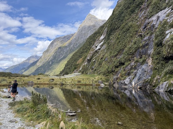
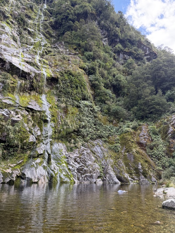
Some enthusiasts can take a swim in the refreshing waters of Prairie Lake. Lookng back to the east and down the Clinton River Valley.
 |
 |
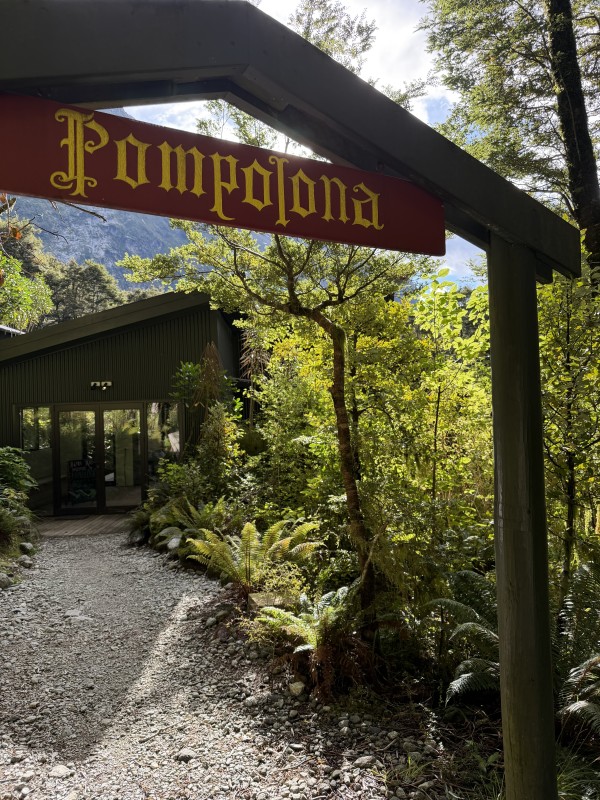 |
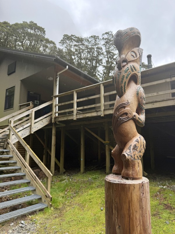
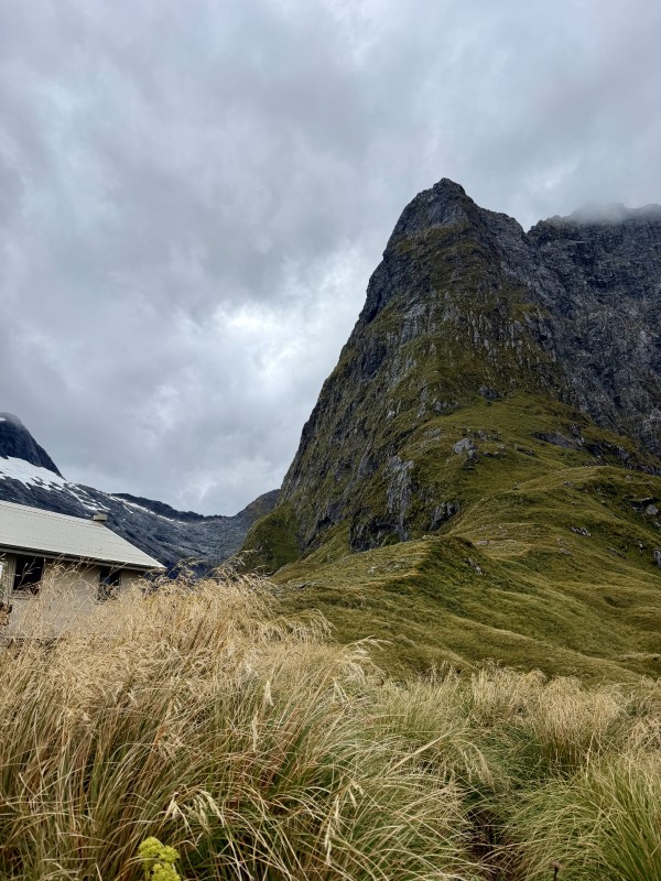
For hikers on the Ultimate Hikes, the destination is Pompolona Hut, named after a certain scone that was prepared by Quintin McKinnon for his guests. For Freedom Walkers, the destination is Mintaro Hut which was rebuilt in 2020 and is surrounded by welcoming Maori pouwhenua which tell the part of the Ngāi Tahu creation story. Read more here.
 |
 |
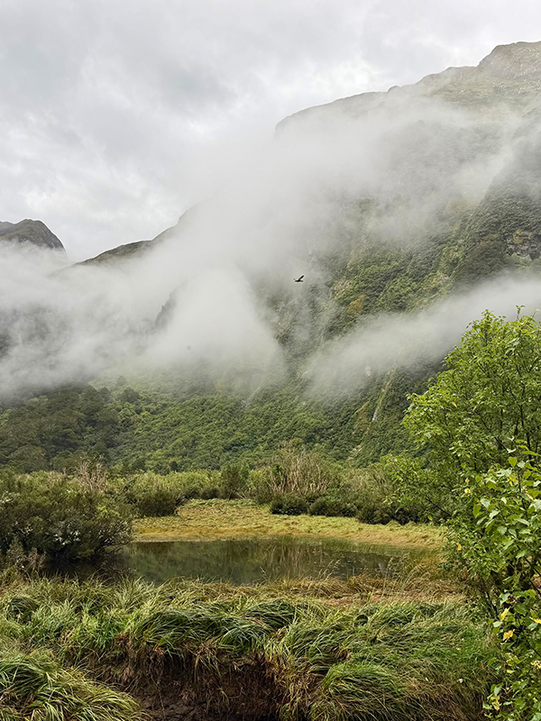
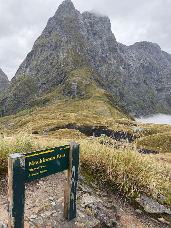
Day 3 provides the greatest challenge for hikers as you walk up into the alpine zone, zigzagging steeply across the side of a mountain to the McKinnon Pass at 1100 m. Here I am coming out of the clouds of the Clinton River Valley.
 |
 |
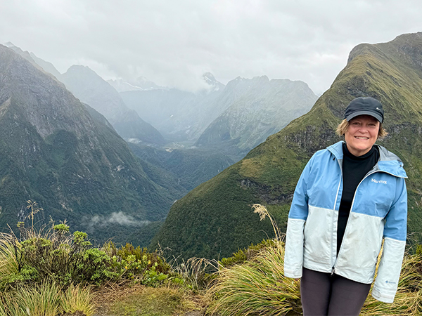
The view at the top is a welcome reward for the slog up. To the west, behind me, you can see down the dramatic glacial valleys and the track out to Milford Sound hidden deep in the bush. At the Pass is the McKinnon Memorial, errected by his supporters commemorating his life following his unexpected death in 1892.
 |
 |
 |
You need to walk up a bit further to the summit now flanked by Mt Balloon, named by McKinnon because it reminded him of a balloon in the clouds. And on the McKinnon Pass Shelter. The center image is looking west toward the Sutherland Falls.
 |
 |
While having lunch at the McKinnon Pass Shelter, I could look east, back down to the Clinton River Valley, as the clouds had cleared, and see where we had come from earlier that day.
Following lunch, the descent started. From the Pass, we could see the hut and the hike down was challenging. Clambering down along narrow, rocky paths, streams and bridges - requiring concentration, one step at a time.
 |
 |
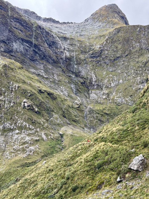
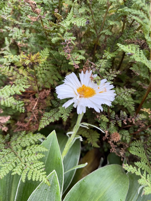
Celmisia spectabilis Mountain Daisy puharetaiko - the last of flowers of the season. The middle image is looking back up to the McKinnon Pass. In the 3rd image we can see the Sutherland Falls peeking through.
 |
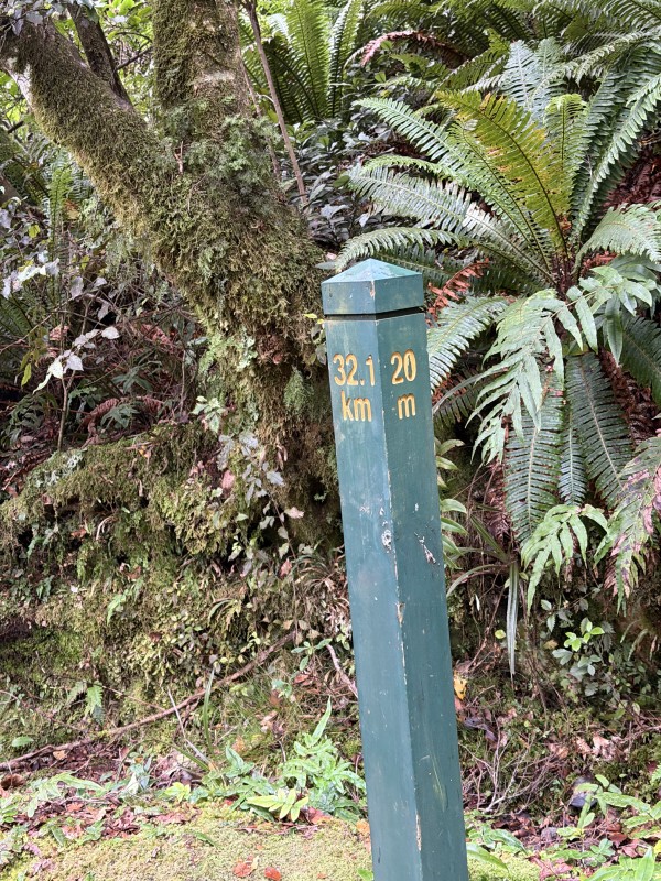 |
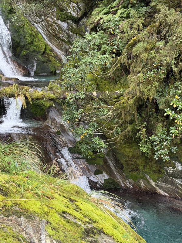
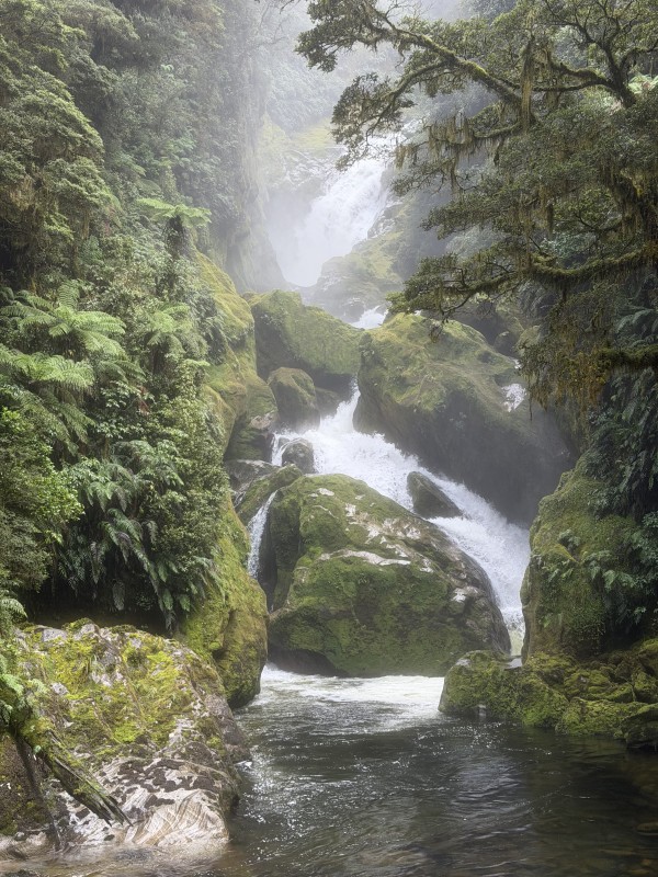
As the track heads back into the bush, an amazing waterfall appears, the Anderson Cascades. The track follows this down for some time, including via steps with handrails and a viewing platform overlooking pristine 'blue' alpine pools. The mile/kilometre marker shows 20 miles at this point.
 |
 |
 |
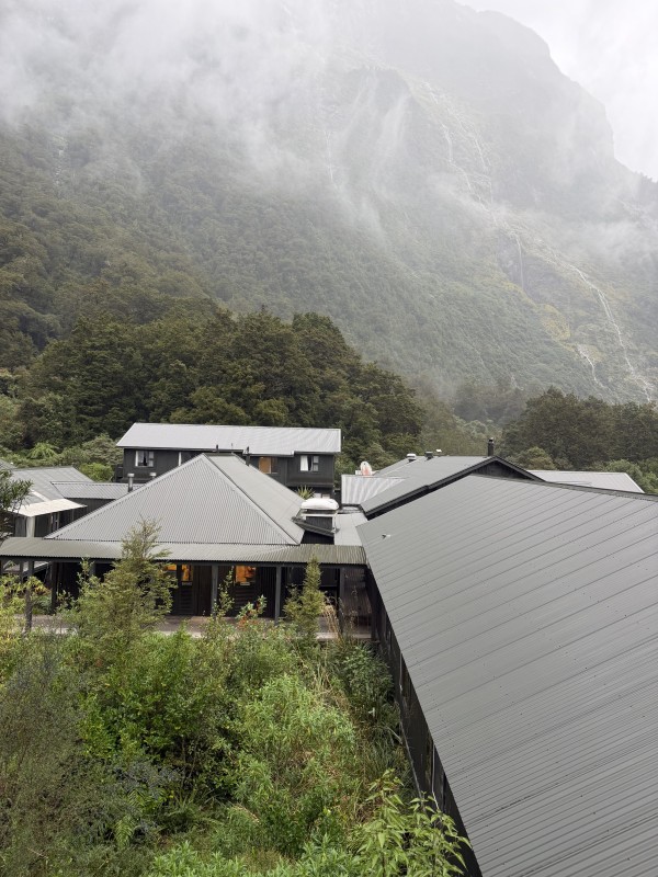
View from my room at Quintin Hut. From here, there is a 1.5 hour sidewalk to the famed Sutherland Falls, the 5th highest waterfall in the world. Third photo is of the Sutherland Falls.
 |
 |
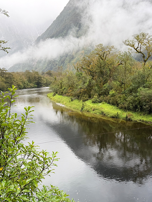 |
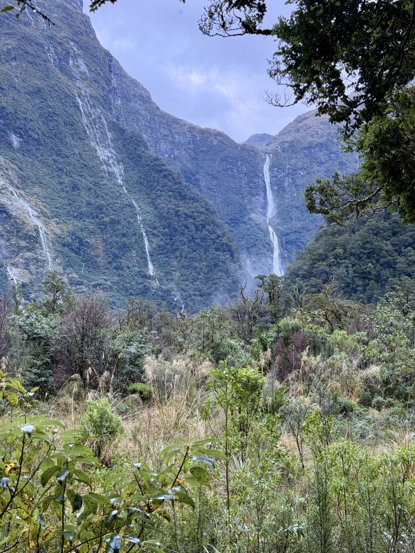
On Day 4, the track continues downwards in a much less challenging way and onto the valley floor, back in the native bush and along the Arthur River which flows into Lake Ada. Overnight rain meant that we were treated to numerous waterfalls, cascading off the steep mountains above the valley. The middle image is the MacKay Falls.
 |
 |
 |
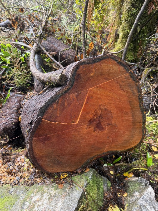
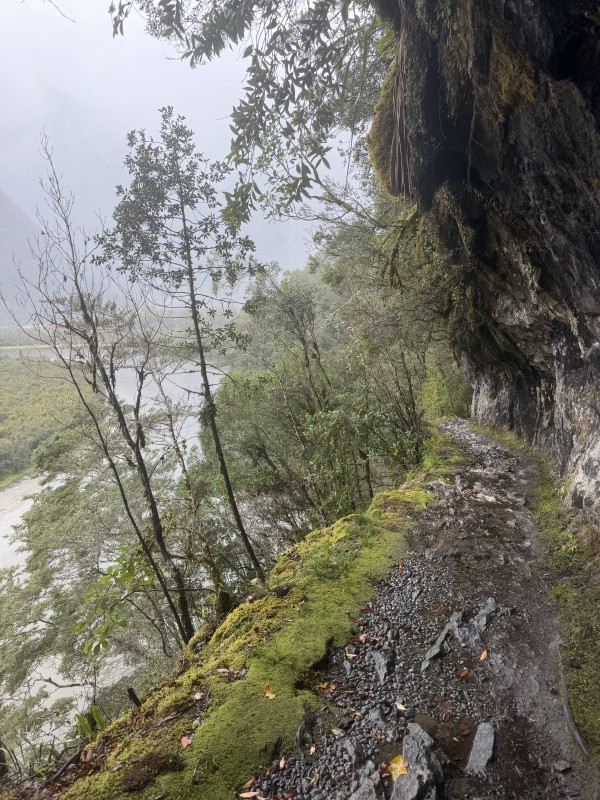
A fallen native Tawhai red beech tree Northofacus rubis. Parts of the track have been excavated out of the rock face.
 |
 |
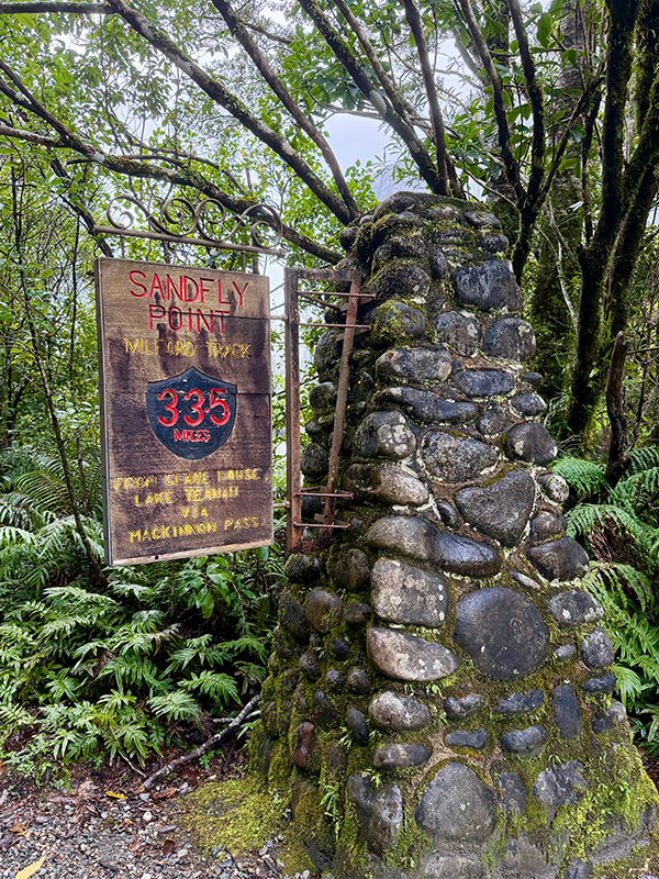
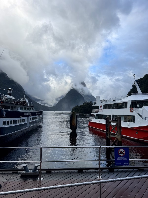
The track finishes at Sandfly Point where hikers catch a boat for a 10 minute ride to Milford Sound Township.
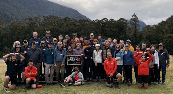
Ultimate Hikes Group 156, April 2026
|
 |
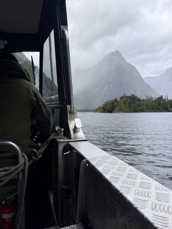
On the boat from Sandfly Point to the former THC Tourist Hotel Corporation Hotel with the best view of Milford Sound and Mitre Peak on clear day.
 |
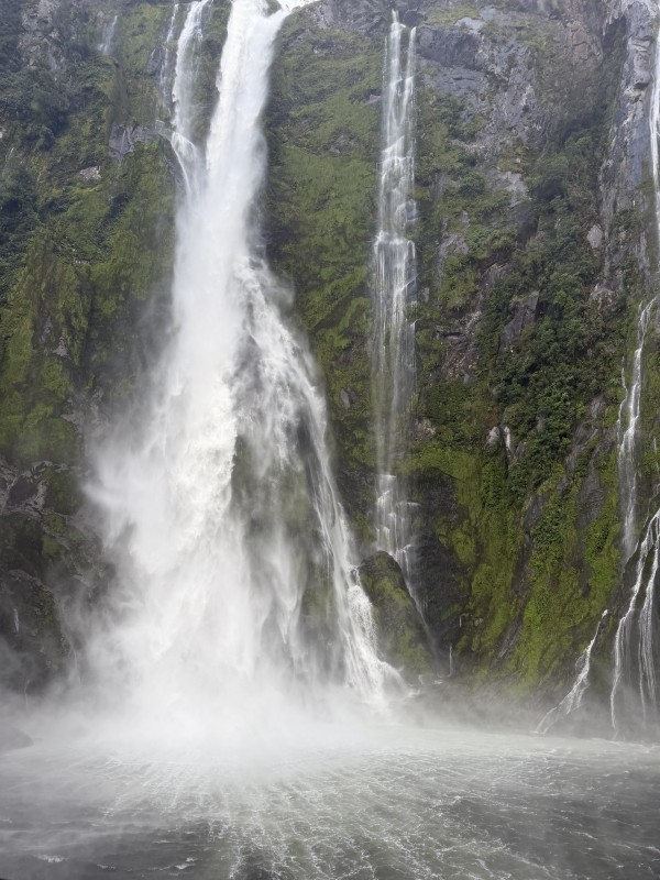 |
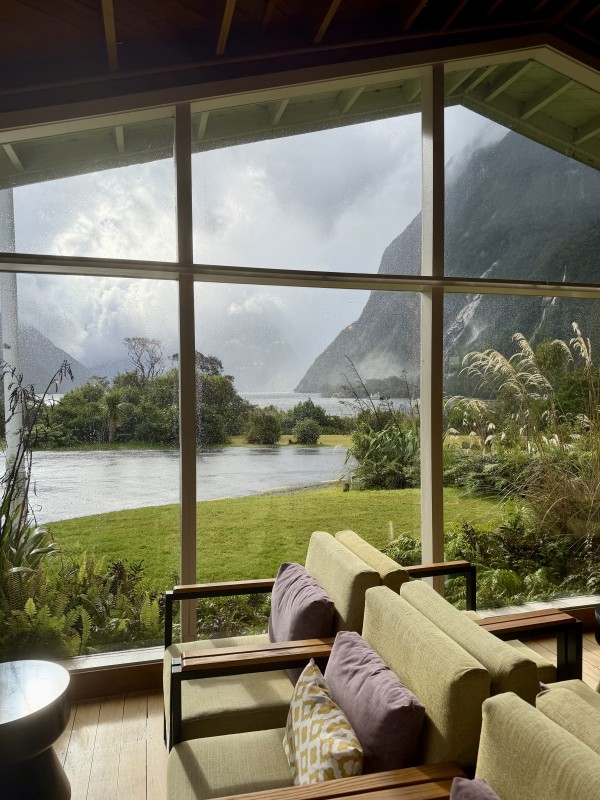
The last day was marked by voyage on Milford Sound, past the Bowen Falls and Stirling Falls and further to the Tasman Sea. And what a great experience. This is something that every kiwi should do if they can...
Read Celia's post on the Development of tourism and Milford's significance.
Celia Hay
14 April 2025